


La Laupie : Sur les Chemins de Borne Rousse 6km5

chancha
User GUIDE


Length
6.4 km

Max alt
507 m

Uphill gradient
304 m
Km-Effort
10.5 km

Min alt
210 m

Downhill gradient
305 m
Boucle
Yes
Creation date :
2023-02-20 12:44:29.82
Updated on :
2023-03-09 14:48:06.193
2h09
Difficulty : Medium

FREE GPS app for hiking
 SityTrail
IGN / Geographical institutes
SityTrail Plus
The world is yours!
About
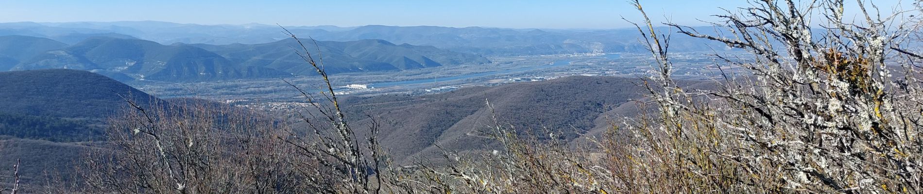
Trail Walking of 6.4 km to be discovered at Auvergne-Rhône-Alpes, Drôme, La Laupie. This trail is proposed by chancha.
Photos


Positioning
Country:
France
Region :
Auvergne-Rhône-Alpes
Department/Province :
Drôme
Municipality :
La Laupie
Location:
Unknown
Start:(Dec)
Start:(UTM)
647052 ; 4942908 (31T) N.
Comments